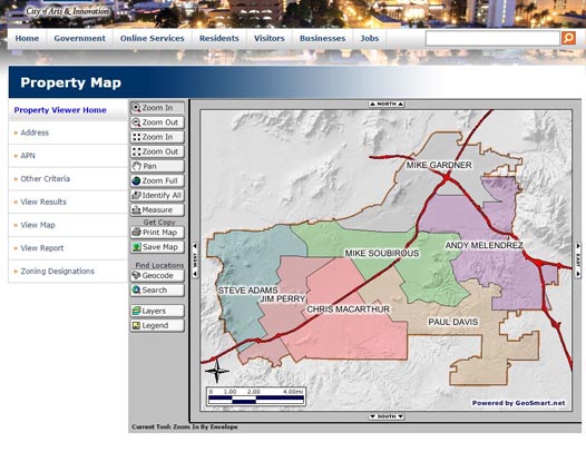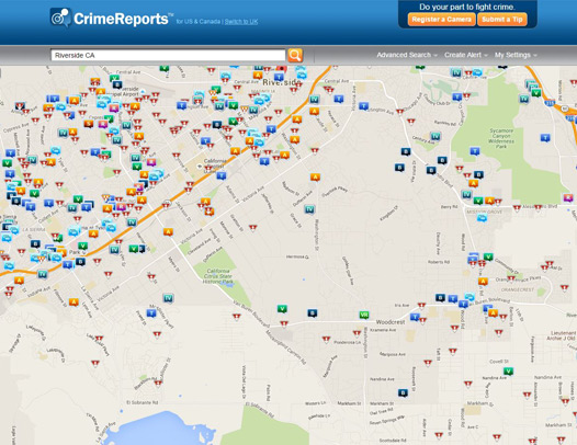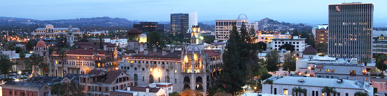
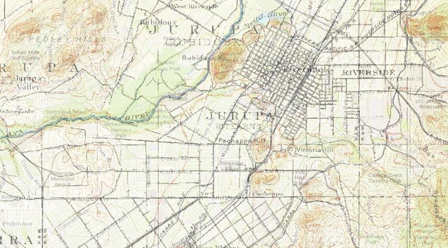
Maps are an essential tool to visualize information and tell a story that can’t be told on just paper forms. Maps are also used for recordkeeping to convey dividing lines, designated areas and important points of interest. The City of Riverside on a continuous basis updates mapping information into the Geographical Information System (GIS) to reproduce maps that help the City make informed decisions. The maps provided below are made available from the City's GIS to be accessible by the general public.